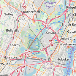
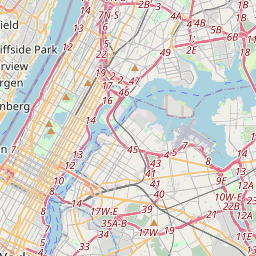
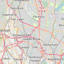
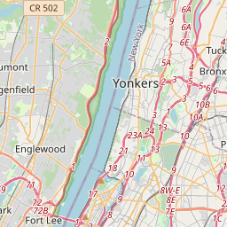
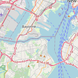
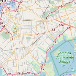
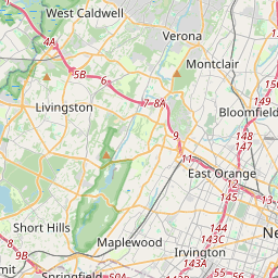
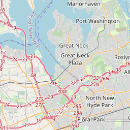
25 Mile Radius Map
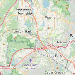
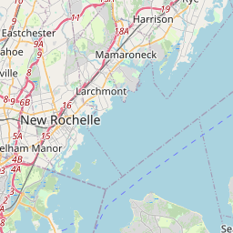
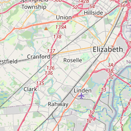
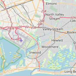
Draw a 25 mile radius around any point on the map.
Area
78.5mi²
50,265 acres
Diameter
10.00mi
Circles
1Circle color
Share & export
Save & load
25 Mile Radius Map reference guide
A 25 mile radius map draws a circle 25 miles out from a center point, an area of roughly 1,963 square miles. It is a common reach for regional delivery, service territories and drive-time screening; set the center and the circle snaps to the distance you need.
How to use it
- Tap the map or search a place to drop a circle center.
- Drag the white edge handle to grow or shrink the radius.
- Switch between miles and kilometers with the unit toggle.
- Add more circles, rename them, and pick a color for each.
- Copy the share link or export GeoJSON, KML or CSV.
Quick conversion reference
| Radius (mi) | Radius (km) | Area | Land area |
|---|---|---|---|
| 1 | 1.61 | 3.14 mi² | 2,011 acres |
| 2 | 3.22 | 12.57 mi² | 8,042 acres |
| 5 | 8.05 | 78.54 mi² | 50,265 acres |
| 10 | 16.09 | 314.16 mi² | 201,062 acres |
| 25 | 40.23 | 1,963.5 mi² | 1,256,637 acres |
| 50 | 80.47 | 7,854 mi² | 5,026,548 acres |
Common use cases
Delivery zones
Draw a radius around a warehouse or store to define same-day delivery coverage, then export the GeoJSON to share with dispatch.
Telecom coverage
Model cell tower or broadcast reach with a circle, compare overlapping coverage areas, and export KML for field planning.
Real estate commute rings
Center a circle on a workplace and set the radius to a comfortable commute distance to screen candidate neighborhoods.
Travel distance planning
Estimate how far a day trip or fuel range reaches from a base point, with live area and circumference readouts.